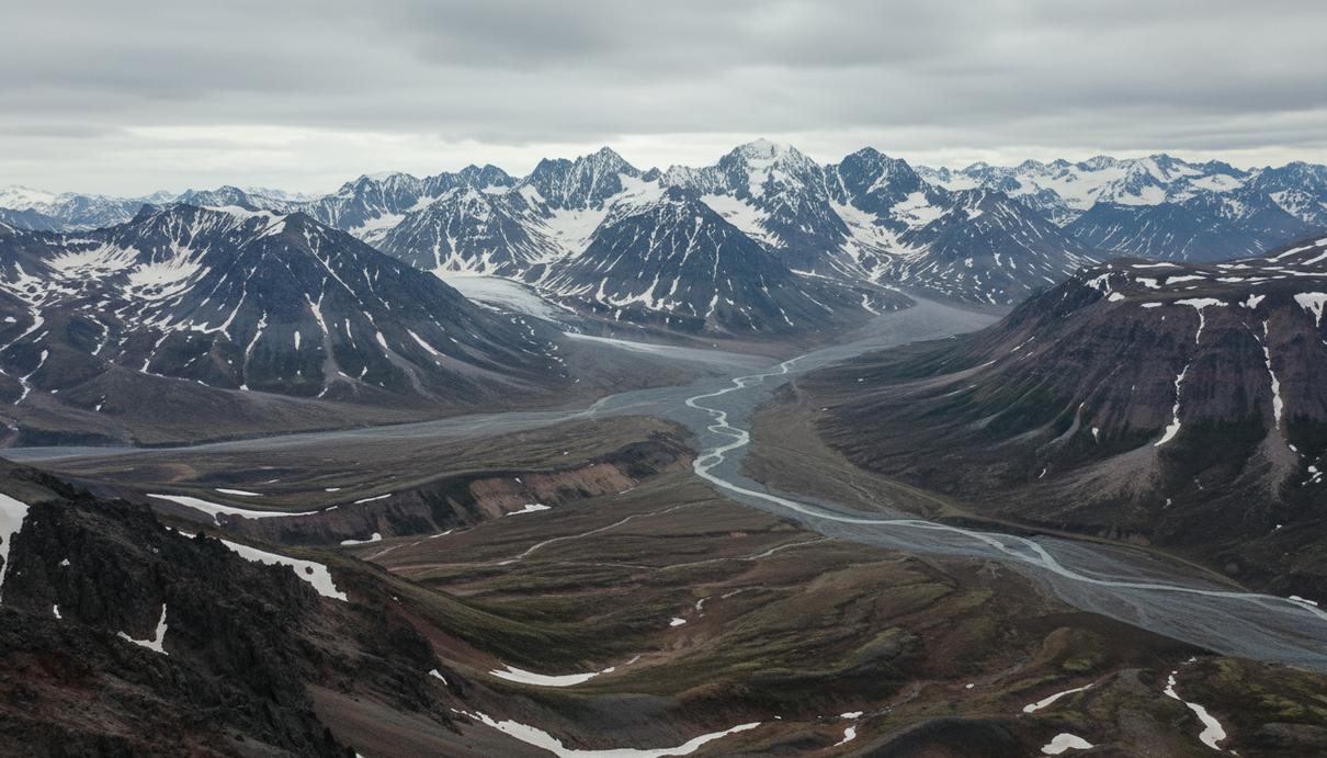
Snow reserves in southeastern Kamchatka are projected to decrease by one-third by 2050, altering the regional hydrological regime and the length of the tourist season. Regional snow data has been updated for the first time since the 1980s through a comprehensive climate analysis by Vitus Bering Kamchatka State University and North-Eastern Federal University. During the previous assessment period, the peninsula was classified as the snowiest region in the country, recording up to 3,000 millimeters of snow water equivalent in mountainous areas.
The forecast relies on a compiled dataset encompassing 65 years of meteorological records from 20 Kamchatgidromet monitoring stations, satellite observations from the GlobSnow project, and CMIP6 climate models. Out of ten evaluated climate scenarios, five were selected to accurately reflect the complex mountainous terrain of the peninsula. In April – at the peak of snow accumulation – the volume of water stored in the snowpack will decline by 20 to 30 percent compared to the 1981–2010 baseline.
The most severe reductions are anticipated in May at the onset of the active melting phase. In the coastal zone extending from the Kronotsky Peninsula to Avacha Bay, snow cover may shrink by up to 42 percent. This specific territory encompasses the environs of Petropavlovsk-Kamchatsky and hosts the primary ski resorts of the peninsula, meaning these climatic shifts will directly impact regional winter recreation infrastructure.
The application of these modeling results extends beyond the tourism sector. The data will be utilized to accurately calculate spring floods and assess conditions for preserving local glaciers. Continuous environmental monitoring will proceed under the Ministry of Education and Science’s Priority 2030 Far East program, facilitated by an educational cluster currently being established in the region.