Scientists assessed the pollution of the Avacha Bay of Kamchatka from satellite images
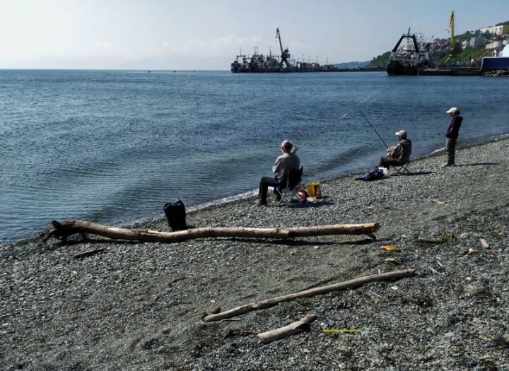
Photo by Anastasia Yudaeva, Kamchatka.Today.
Scientists analyzed satellite data from 2014 to 2023 and found out the area and main sources of pollution of the Avacha Bay, Kamchatka.Today reports with reference to Kommersant.
The work on space monitoring was carried out by specialists from the Aerospace Research Institute. Scientists have analyzed more than 1.1 thousand archived satellite radar images of the Avacha Bay, including Avacha Bay.
It turned out that the total area of anthropogenic film pollution of the bay was 332 square kilometers. This is about 3% of the total area of the water area. The level of pollution is relatively high and comparable to the Russian sector of the Black Sea.
“An analysis of the results of space monitoring and vessel route maps performed using geoinformation technologies has shown that the detected pollution is largely due to shipping,” the Aerospace Company said.
Another source of pollution of the bay (especially Avacha Bay) is discharged domestic water.
Six main areas of regular occurrence of such pollutants have been identified. One of them is a section of the water area near the Chinook sewage treatment plant in Petropavlovsk–Kamchaysky.
Experts note that data on pollution of the Avacha Bay directly affect the state of the region’s fishing complex and the quality of marine biological resources.