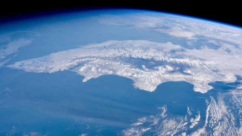
The remote and strategically vital Kamchatka Peninsula is set to unveil a landmark geographical atlas in March 2026, promising to redefine our understanding of this vast and relatively unexplored Russian Far East region. This ambitious cartographic undertaking, spearheaded by the renowned “Nauka” publishing house in collaboration with leading Kamchatka scientists and significantly supported by the Russian Geographical Society (RGS), will feature over 70 previously uncharted natural objects.
The meticulously updated maps are already generating substantial interest across various sectors, from regional administrative bodies and burgeoning business enterprises to major subsoil exploration companies. Anastasia Kolpashchikova, Deputy Director of “Nauka,” highlighted that the atlas incorporates contemporary regionalization, detailing areas of traditional resource use, industrial zones, and expanding urban developments. This comprehensive approach ensures the atlas serves as an indispensable tool for sustainable development and resource management in a region poised for growth and increasing global relevance.
Beyond its immediate practical utility, the forthcoming atlas draws a profound symbolic connection to the enduring legacy of Stepan Krasheninnikov, the pioneering 18th-century explorer who first systematically documented the Kamchatka Peninsula. Tatiana Mikhailova, Deputy Chairperson of the Kamchatka Branch of the RGS, noted that a pivotal preparatory meeting for the atlas was strategically timed with Krasheninnikov’s birthday on November 11. It was precisely 270 years ago, in 1755, that his seminal work, “Description of Kamchatka Land,” was first printed by the Academy of Sciences’ typography – an institution whose historical lineage directly leads to today’s “Nauka” publishing house. Oksana Tolstykh, Head of the Earth Sciences Editorial Board at Nauka, further emphasized this connection, pointing out that a re-edition of Krasheninnikov’s historic text was released last year, making it accessible in Kamchatka’s libraries.
Perhaps the most compelling aspect of this cartographic endeavor lies in its profound implications for Kamchatka’s indigenous communities. Andrey Metelitsa, President of the Association of Indigenous Peoples of Kamchatka, underscored the atlas’s vital role in the ongoing efforts to preserve and authenticate the traditional names of natural landmarks across the peninsula’s eight indigenous languages. He proudly stated that over seventy features, previously absent from even Soviet-era maps, are not only being accurately charted but will also reclaim their ancestral names through dedicated collaboration between scientists and indigenous elders. This collaborative spirit marks a progressive step in recognizing and integrating centuries-old knowledge into modern geographical understanding, ensuring that the voices and heritage of Kamchatka’s first inhabitants are permanently etched onto its updated landscape.