A catastrophic earthquake off the coast of Kamchatka on July 29, 2025, has provided geophysicists with unprecedented data, poised to fundamentally alter global approaches to tsunami forecasting. This magnitude 8.8 event, ranking as the sixth most powerful seismic cataclysm recorded since 1900, holds significance far beyond its immense energy. For the first time in history, the propagation of a tsunami wave generated by a major subduction zone quake was captured in high resolution directly from space using the SWOT satellite altimeter. These cutting-edge observations, combined with data from deep-ocean stations, have enabled researchers to reconstruct the event in astonishing detail, offering critical new insights into the nature of these destructive forces.
The epicenter of the ground tremors was situated within the volatile Kuril-Kamchatka subduction zone, a crucial segment of the Pacific ‘Ring of Fire’ where the Pacific Plate relentlessly dives beneath the North American Plate at an approximate rate of 8 centimeters per year. This region is internationally recognized as one of the most seismically active and hazardous oceanic boundaries on Earth. Notably, the 2025 earthquake occurred in the identical megathrust segment that produced the devastating 1952 magnitude 9.0 catastrophe. That historical event triggered one of the largest trans-Pacific tsunamis ever recorded, prompting the urgent development of today’s sophisticated global warning systems. The scientific comparison between these two monumental events is now offering geoscientists a vital key to understanding how precisely the style of crustal rupture dictates the destructive potential of subsequent tsunami waves.
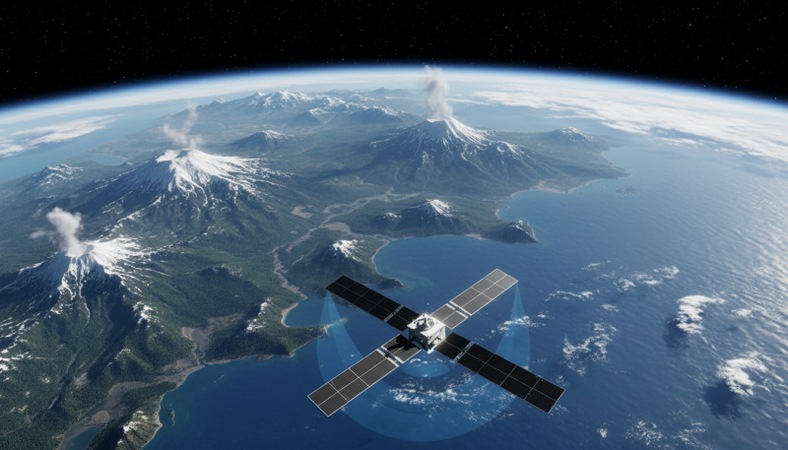
To construct an accurate model of the tsunami’s genesis, specialists meticulously integrated records from DART deep-ocean buoys with the unique high-resolution tracks provided by the SWOT satellite. Launched in 2022, this revolutionary space-based altimeter flew over the ocean precisely as the wave propagated, meticulously mapping complex hydrodynamic processes, including wave dispersion and scattering – phenomena impossible to discern with conventional point sensors. This detailed analysis revealed that the rupture extended approximately 400 kilometers along the fault line, a figure substantially exceeding initial estimates derived solely from seismic data. The inversion of this comprehensive dataset allowed for a refined model of seafloor deformation, pinpointing a peak surface uplift of four meters.
The most crucial discovery emerging from this analysis lies in the significant difference in the rupture depth between the 1952 and 2025 events. Detailed reconstruction has illustrated that the mid-20th century catastrophe impacted the shallower, trench-adjacent part of the fault, directly leading to monstrous run-up heights exceeding 15 meters on coastal areas. In stark contrast, while the 2025 earthquake ‘broke’ a substantial portion of the identical segment, it originated at a much greater depth and barely affected the near-surface seabed. This critical distinction explains why, despite its immense magnitude of 8.8 and the trans-oceanic scale of the tsunami, its destructive impact on populated coastlines proved considerably less severe. This fact profoundly underscores that tsunami hazard is not solely governed by the sheer power of the earthquake, but critically by the detailed distribution of fault displacement at varying depths.
This groundbreaking research also raises an urgent and troubling international question concerning the recurrence frequency of mega-earthquakes. The re-occurrence of a ‘great earthquake’ of this scale in less than a century – a mere 73 years after its predecessor – serves as a stark and unequivocal warning. Traditional seismic hazard models frequently postulate centurial or even longer intervals for the accumulation of energy between such cataclysms. The finding that the 2025 rupture absorbed residual displacement not released in 1952 suggests that rapidly converging plate boundaries can indeed generate giant earthquakes on sub-century timescales. This revelation fundamentally challenges simplistic views of the seismic cycle and necessitates an immediate re-evaluation of risk assessments for vulnerable coastal regions worldwide, particularly across the densely populated Pacific Rim.
The deployment of SWOT satellite altimetry has unequivocally demonstrated immense potential for enhancing future global safety systems. While the current data latency prevents its use for instantaneous warning dissemination, its dense spatial sampling capability is invaluable for calibrating and refining models immediately following an event. This capability is absolutely critical for improving forecast accuracy during ongoing rescue operations and deepening our understanding of tsunami physics. Scientists are concluding that safeguarding populations across the Pacific Ring of Fire necessitates accounting for both the high probability of recurring powerful seismic events and the variability in rupture scenarios. Indeed, even without direct seabed displacement near the trench, the risk of widespread evacuation and significant economic losses remains extraordinarily high, demanding continued international collaboration and advanced preparedness strategies.